Well what a day!
The first thing I want to get off my chest is that the route card map and the directions are pretty poor. The directions are quite vague in places, and we had to stop at every junction to decide which way we are supposed to go, the junctions are poorly described to what you might think they are. We wasted a of time doing this.
The map doesn't show anywhere near the number of forest fire roads there are. I've done an OS map of the area
here, compare this to the route card map and you can see why there was a lot of head scratching

So we were joggling the route map, the directions and OS map.
Weather was poor to say the least, heavy mist dropping in and out, rain most of the way, I can imagine on a nice day it will be very beautiful.
Suggested route card start point, couldn't see the toilets as marked, just the picnic tables. I wonder if the Brenig visitors centre might be a better start point, there is a cafe and toilets, but you may have to pay for parking.
The first trail out of the car park
We took the suggested view point (by mistake because of the directions..)
Photo op
Typical fire road and tracks
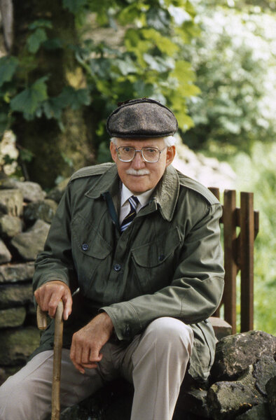
Crud hanging out looking very retro with jeans on!
Nice photo op, this is around the 10km mark
Alwen reservoir
The slog through the mist to the Brenig (not sure if we should skip this loop??
The Brenig Visitors centre provided a welcome break for lunch!
At this point, because of the constant stopping and the horrible weather we decided to make our way back to the van. So we went over the dam wall and detoured right to pick up the trail back (the same trail in).
My cycle computer said (i think its reading a couple of miles under as compared to the km markings on the route card).
Distance 28.46miles (45.80km)
Riding time only 3hrs 19minutes
Top Speed 33.5mph woohoo
We set off about 10am and returned to the van about 3pm. Again, neither of us are the fittest, i'll leave it up to you guys to decide whether the hole loop is possible and how long it will take. I think 4.5hrs is possible if you know the route or have a better map, but is on the very optimistic side.