after yesterdays awesome ride where i deviated form my usual canal path - puncture - walk home i ventured just off the canal path onto the reservoir . rode around that a few times and went on a path i spotted on google earth
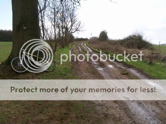
was a wicked path , all uphill . ended along a road that leads pretty close to the house
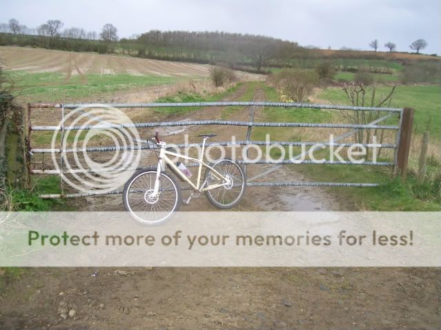
so today i started from the road ready to blast it downhill
bugger , didnt see that yesterday when going the other way :cry:
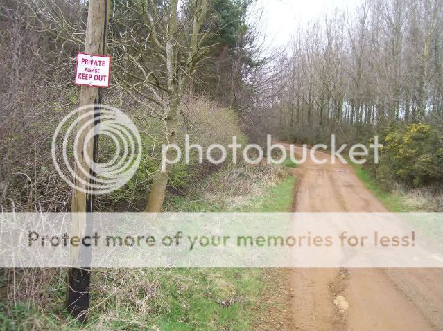
spent a long time wondering if i should go for it anyway , finally deciding not to as there might be an angry farmer waiting at the farm near the bottom
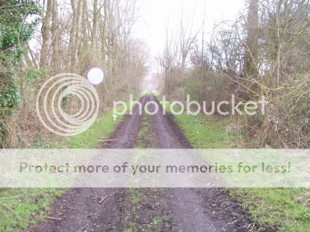
there was a public footpath sign just before the private sign . i hoped it would be nearly as good
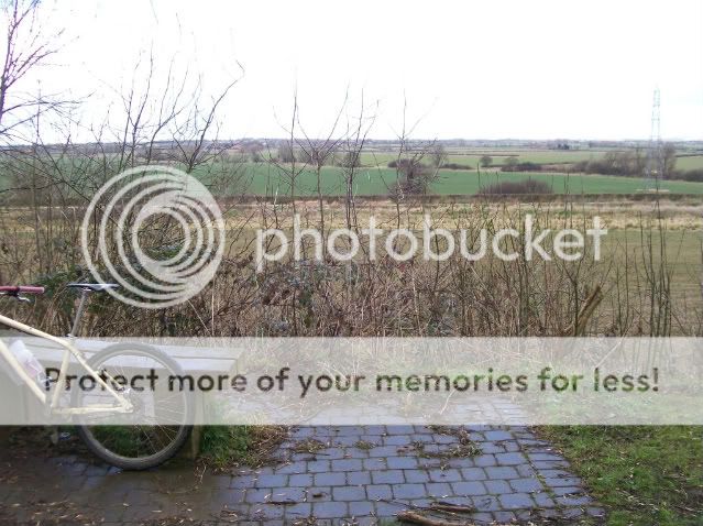
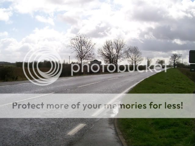
however at the end of the woods and across some fields it leads back to a road
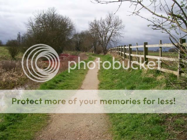
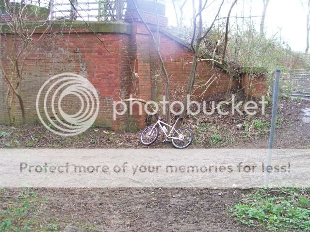
i head back home and instead to the canal path , there was a path opposite the entrance to the reservoir i wanted to try
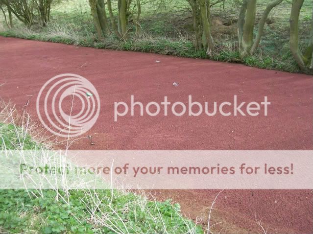
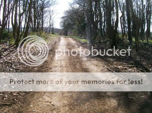
this is what the canal path looks like
lots of wind today and the stuff on top of the water had gathered into one place
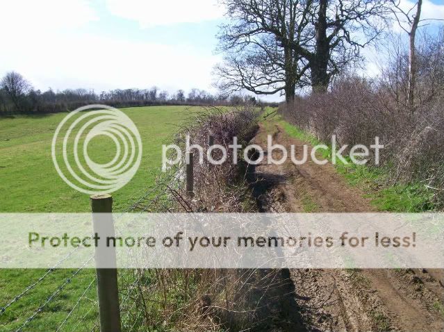
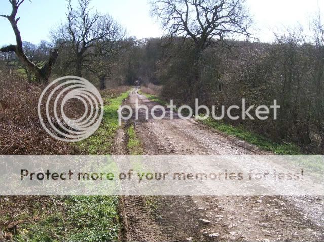
this is the path opposite the reservoir . i stood in the middle of the road to get that pic
lots of steady uphill
at the top i could see the canal
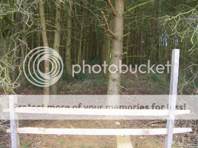
just on the right is where the bench was . i had a choice of where to go from here
straight over ? looks like it hasnt seen any action in a while
down ? i had a good feeling it went to the canal
i went up
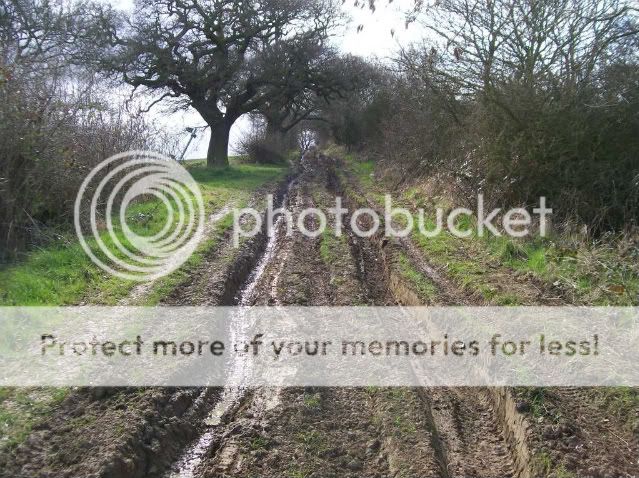
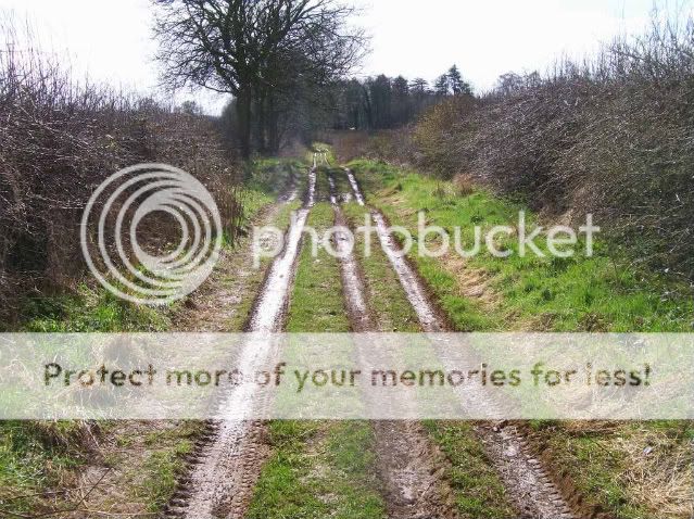
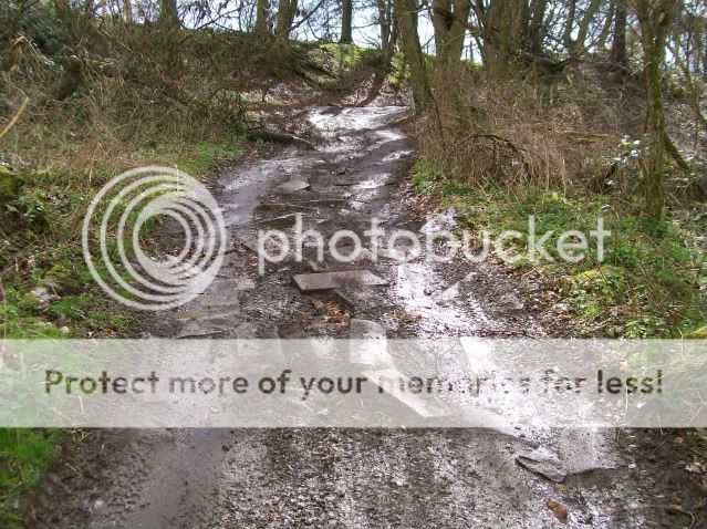
this track went very far and was muddy
it just kept going up and up
of course i pushed all of this going up
still going
by now ive crossed a road or 2
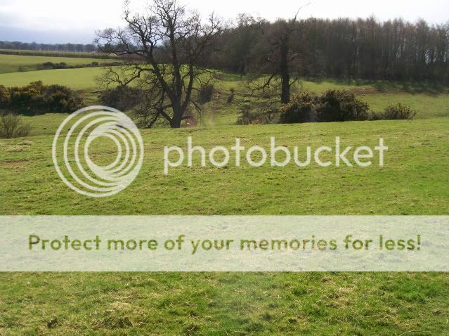
no idea where i am now
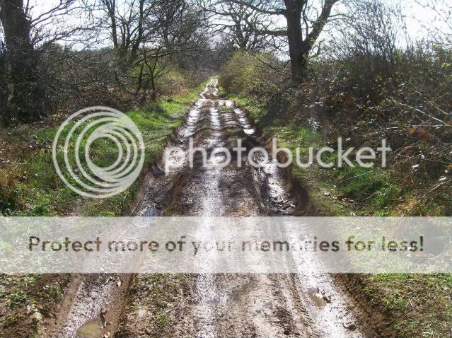
i reach some really interesting uphill now . coming back down this on a rigid was amazing , i had to stop halfway as my arms were too pumped up i rimmed the front at least once . this bit coming back down was amazing
bugger , ive ran out of county
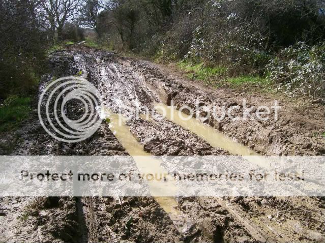
i rode all the way back down , even through all the bottom bracket deep mud and ruts . had to dab a couple times when the front wheel would try to climb out the side of a rut and i came to a stop when the front wheel dug in and i dabbed a foot . the path going down did lead to the canal and i mustave looked strange to the couple walking their dog batteries in the camera ran out next time im going to see where a few of the paths leading off go
was a wicked path , all uphill . ended along a road that leads pretty close to the house
so today i started from the road ready to blast it downhill
bugger , didnt see that yesterday when going the other way :cry:
spent a long time wondering if i should go for it anyway , finally deciding not to as there might be an angry farmer waiting at the farm near the bottom
there was a public footpath sign just before the private sign . i hoped it would be nearly as good
however at the end of the woods and across some fields it leads back to a road
i head back home and instead to the canal path , there was a path opposite the entrance to the reservoir i wanted to try
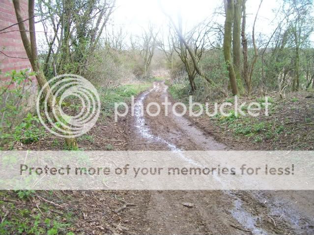
this is what the canal path looks like
lots of wind today and the stuff on top of the water had gathered into one place
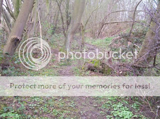
this is the path opposite the reservoir . i stood in the middle of the road to get that pic
lots of steady uphill
at the top i could see the canal
just on the right is where the bench was . i had a choice of where to go from here
straight over ? looks like it hasnt seen any action in a while
down ? i had a good feeling it went to the canal
i went up
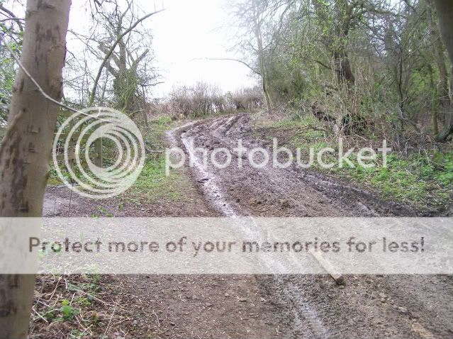
this track went very far and was muddy
it just kept going up and up
of course i pushed all of this going up
still going
by now ive crossed a road or 2
no idea where i am now
i reach some really interesting uphill now . coming back down this on a rigid was amazing , i had to stop halfway as my arms were too pumped up
i rimmed the front at least once . this bit coming back down was amazing
bugger , ive ran out of county
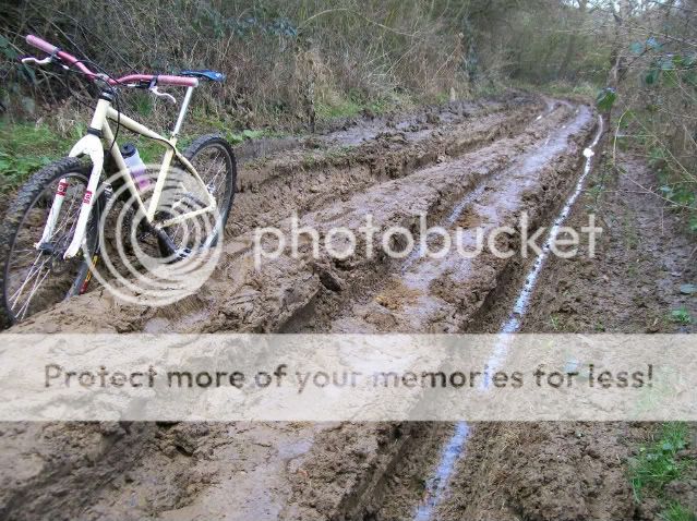
i rode all the way back down , even through all the bottom bracket deep mud and ruts . had to dab a couple times when the front wheel would try to climb out the side of a rut and i came to a stop when the front wheel dug in and i dabbed a foot . the path going down did lead to the canal and i mustave looked strange to the couple walking their dog
batteries in the camera ran out next time im going to see where a few of the paths leading off go